Speakers

06-08 August 2024 - Manila, Philippines

Keynote Speaker


Prof. Dr.-Ing. habil. Christian Heipke

Christian Heipke is a professor of photogrammetry and remote sensing at Leibniz Universität Hannover, where he currently leads a group of about 25 researchers. His professional interests comprise all aspects of photogrammetry, remote sensing, image understanding and their connection to computer vision and GIS. His has authored or co-authored close to 500 scientific papers, more than 100 of which appeared in peer-reviewed international journals. He also supervised more than 40 PhD candidates as main supervisor. He is the recipient of the 1992 Otto von Gruber Award, the 2012 Fred Doyle Award, both from the International Society of Photogrammetry and Remote Sensing (ISPRS), the 2013 Photogrammetric (Fairchild) Award from ASPRS, and the 2022 Albrecht Meydenbauer Medal from DGPF. He is an ordinary member of various learnt societies incl. DGK (German Geodetic Commission), acatech (German Academy for Technical Sciences), IAA (International Academy of Astronautics) and the European Academy of Sciences and Arts. From 2004 to 2009, he served as vice president of EuroSDR (European Spatial Data Research, formerly known as OEEPE). From 2011-2014 he was chair of the German Geodetic Commission (DGK), from 2012-2016 ISPRS Secretary General, and from 2016-2022 ISPRS President. Currently he serves as ISPRS Past President.
Plenary Speakers

Dr. Benjamin Koetz

Benjamin Koetz is the head of the Long-term Action Section in the Earth Observation Directorate of the European Space Agency. The tasks of the Long-term Action Section focus on partnerships co-designed together with international user communities and stakeholders with the goal of long-term and sustainable adoption of Earth Observation (EO) information in operations.

As Mission Scientist of the Land Surface Temperature Monitoring (LSTM) mission he prepares one of the proposed Copernicus Expansion missions aiming at improved agricultural management.

Benjamin Koetz received his M.Sc. degree in Environmental Sciences with a major in Remote Sensing from the University of Trier, Germany. He also holds a Ph.D. with a specialization in Earth Observation from the University of Zürich, Switzerland. His scientific expertise focuses on the development of physically-based methodologies to derive geo-biophysical EO products with a total of 20+ years experience in the field of satellite Earth Observation.

Dir. Leong Keong Kwoh

Mr KWOH Leong Keong is the Director of the Centre for Remote Imaging, Sensing and Processing (CRISP) of National University of Singapore. Mr Kwoh had joined CRISP in 1992 as the Deputy Director and assumed the position of Director in 2000. Prior to that, he was Head of the Photogrammetric Section of the Singapore Mapping Unit from 1982 to 1992.

Mr Kwoh obtained the Bachelor of Technology in Surveying at the South Australian Institute of Technology in 1980 and the Masters of Engineering Science in Remote Sensing at the University of New South Wales in 1987.

Mr Kwoh played a key role in the establishment of the CRISP ground station and was deeply involved in the implementation for all its satellite data reception programmes for CRISP. He is responsible for the continued upgrading of the facilities of the ground station. He also led the development of the ground processing system for Singapore’s XSAT and TeLEOS-1 satellite. For the later, CRISP as a member of the TeLEOS-1 satellite project team, received a joint President’s Technology Award in 2016.

Mr Kwoh is also deeply involved in CRISP research work. His current research interests include optical and SAR remote sensing data processing, especially in Geospatial data AI, and their applications. He had co-authored over 100 scientific papers.

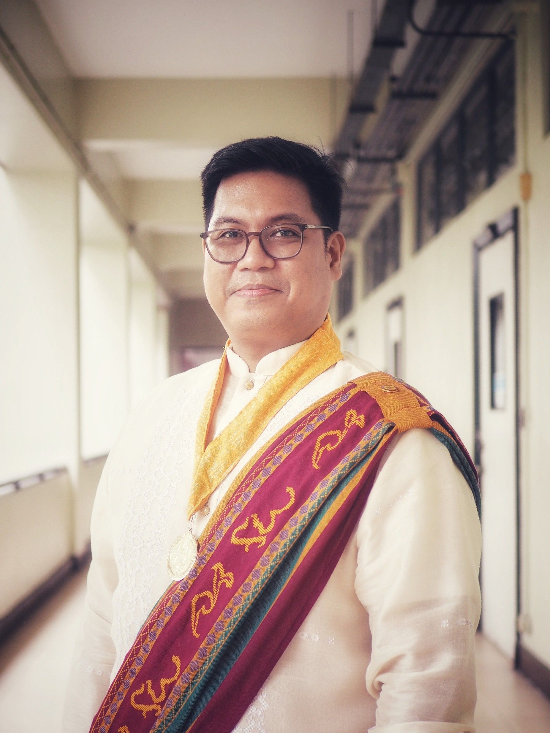
Dr. Czar Jakiri Sarmiento

Dr. Jak Sarmiento earned his Ph.D. in Surveying and Spatial Information Systems from the University of New South Wales in Australia. He led a number of research projects on Geodesy, Smart Cities, Space Applications, and Archaeology. In addition to his academic career, he also consulted for the UN and international and national aid organizations.

He assumed the role of Deputy Executive Director at the National Engineering Center, having served as the Chairman of the UP Department of Geodetic Engineering and Director of the Training Center for Applied Geodesy and Photogrammetry. Under his leadership, the Department gained recognition as a Copernicus Academy member within the European Union Space Networks. Furthermore, Dr. Sarmiento is the founder and managing director of the Research and Development Laboratory for Computational Geodesy, as well as the founder of SNAPLab Manila and Lungsod Solutions.

At the 49th National Directorate Meeting and Annual Convention of the Geodetic Engineers of the Philippines, Dr. Sarmiento was honored with the 2024 National Outstanding Geodetic Engineer in the Academe Award. This recognition follows his 2023 Outstanding Geodetic Engineer in the Academe Award for the National Capital Region. He was also named the 2024 Most Outstanding Professor of the University of the Philippines College of Engineering and received the 2022 Professional Degree in Geodetic Engineering Award from the UP Alumni Engineers.

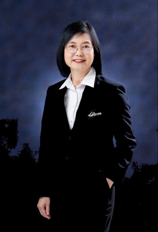
Siriluk Prukpitikul, Ph.D.

SIRILUK PRUKPITIKUL is currently working as the Deputy Executive Director of Geo Informatics and Space Technology Development Agency (GISTDA), Thailand. As a governmental organization under the Minister of Higher Education, Science, Research and Innovation, GISTDA covers broad responsibilities and activities in space technology and geo-informatics application development, with the commitment on leveraging geo informatics and space technology as a non-boundary knowledge for the country development and delivering values from space to the society and people. Dr. Siriluk graduated Bachelor’s degree in Aquatic Science from Prince of Songkhla University, Thailand, a Master’s degree in Marine Technology from the Norwegian University of Science and Technology, Norway and a Doctorate in Sustainable Land Use and Natural Resources Management from KASETSART University, Thailand. Her expertise over the past 25 years includes creating strategic alliances and promoting space and geo-informatics knowledge enhancement, particularly in developing ready-to-use database and information service systems for natural resource management, marine and coastal environment, marine remote sensing equipment systems in both domestic and international levels.

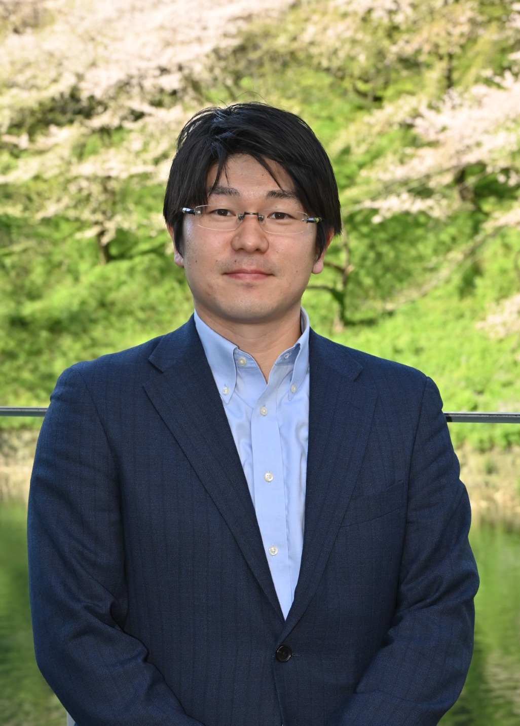
Mr. Hamamoto Ko

Ko Hamamoto is an associate senior engineer at the Space Applications and Operation Center (SAOC), Space Technology Directorate I, and Japan Aerospace Exploration Agency (JAXA). He is in charge of promoting international cooperation of earth observation satellites in the Asia region and promoting satellite data applications for SDGs and forestry.

Mr. Hamamoto joined the JAXA in 2013, and he started his career as an engineer at the Earth Observation Research Center (EORC) and led demonstration projects of Earth observation satellite applications in the Asia region. He was seconded to the Asian Development Bank in 2017, promoting satellite data utilization in ADB development projects, and moved to SAOC, JAXA in 2020.

Mr. Ko Hamamoto graduated from Hokkaido University, where he earned a master’s degree in planetary science in 2013. 

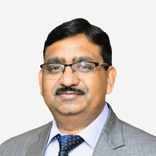
Dr. S.P. Aggarwal

Dr. S.P. Aggarwal, Director of the North Eastern Space Applications Centre (NESAC), Department of Space, Govt. of India, has spearheaded initiatives to harness Space Science and Technology for the development of India's North Eastern region, focusing on areas such as Natural Resource Management, Infrastructure Planning, and Disaster Risk Management. Previously, he led the Water Resources Department at the Indian Institute of Remote Sensing (IIRS), ISRO, Dehradun. Dr. Aggarwal is renowned for his expertise in Remote Sensing and GIS applications, particularly in water resources, disaster management, and climate change. From 2016 to 2021, he significantly contributed to the United Nations-affiliated CSSTEAP as a program coordinator, enhancing capacity building and international cooperation in space science across the Asia-Pacific region through various academic programs at ISRO/DOS centers.

Ms. Mary Grace Gasco

Mary Grace Gasco is the Founder and CEO of SpaceCrop Technologies, an agritech that helps farms manage their irrigation systems and monitor crop health with weather forecasts using satellite data and artificial intelligence, funded by the European Space Agency and the European Institute of Innovation and Technology, a body of the European Commission. Mary Grace is a master’s graduate of Environmental Sciences and Policy at the Central European University in Budapest, Hungary. She finished her bachelor’s degree in Geography at the University of the Philippines Diliman where Mary Grace’s interest in space science and technology applications started. Mary Grace is a strong advocate of SDGs (2,3,6,11,12) and has been doing partnership engagements with private, academic, and non-government organizations in the EU.