ISPRS test data Ziyuan-3-01 2017
Data Sets Region Berlin
Since its launch on 9th, January 2012, China’s first civilian high resolution stereo mapping satellite ZY-3 has provided a reliable stream of high resolution stereo image data. ZY-3 produces three line-array stereo panchromatic images (2.1-meter for nadir,3.5-meter for forward and backward) and 5.8-meter multispectral (red, blue, green, near infrared) imagery that can be combined in a variety of ways to accommodate a wide range of high-resolution imagery applications.
The sample data shall only be used for non-commercial purposes such as scientific research and education. Data application reports or questions are welcome. Please contact to Lyu Shanshan from LASAC at lvss@lasac.cn or 905872648@qq.com.
More information about China's Natural Resources Satellites is available at https://sasclouds.com/english/satellite/chinese/.
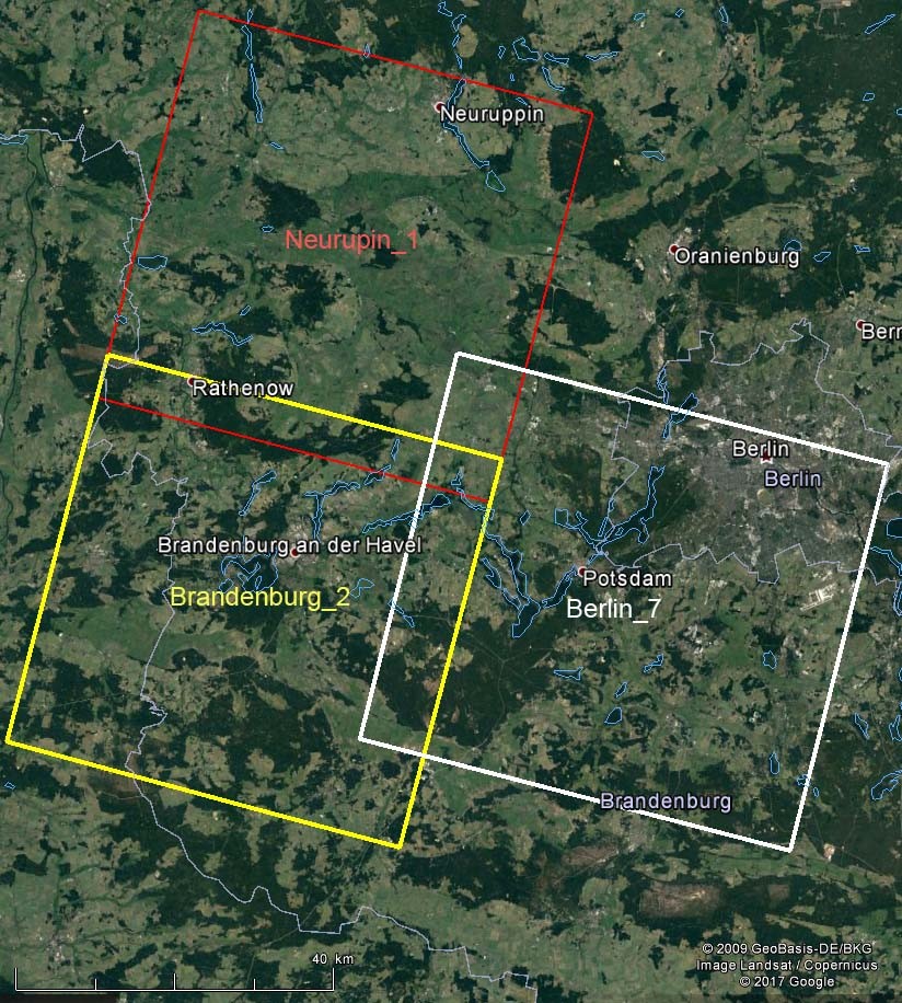
1. Frames in Google Earth
|
Extend: E 12.00° N 52.08°
E 13.63° N 53.03°
Captured: Neurupin and Brandenburg: June 24th 2016
Berlin: April 30th 2017 |
|
Neurupin
center: ˜ N 52.77° E 12.63° |
|
Brandenburg
center: ˜ N 52.37° E 12.47° |
|
Berlin
center: ˜ N 52.36° E 13.14° |
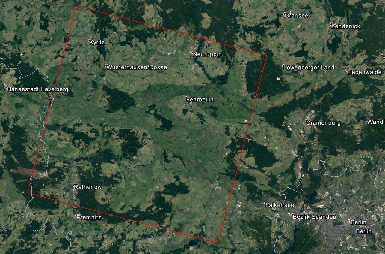
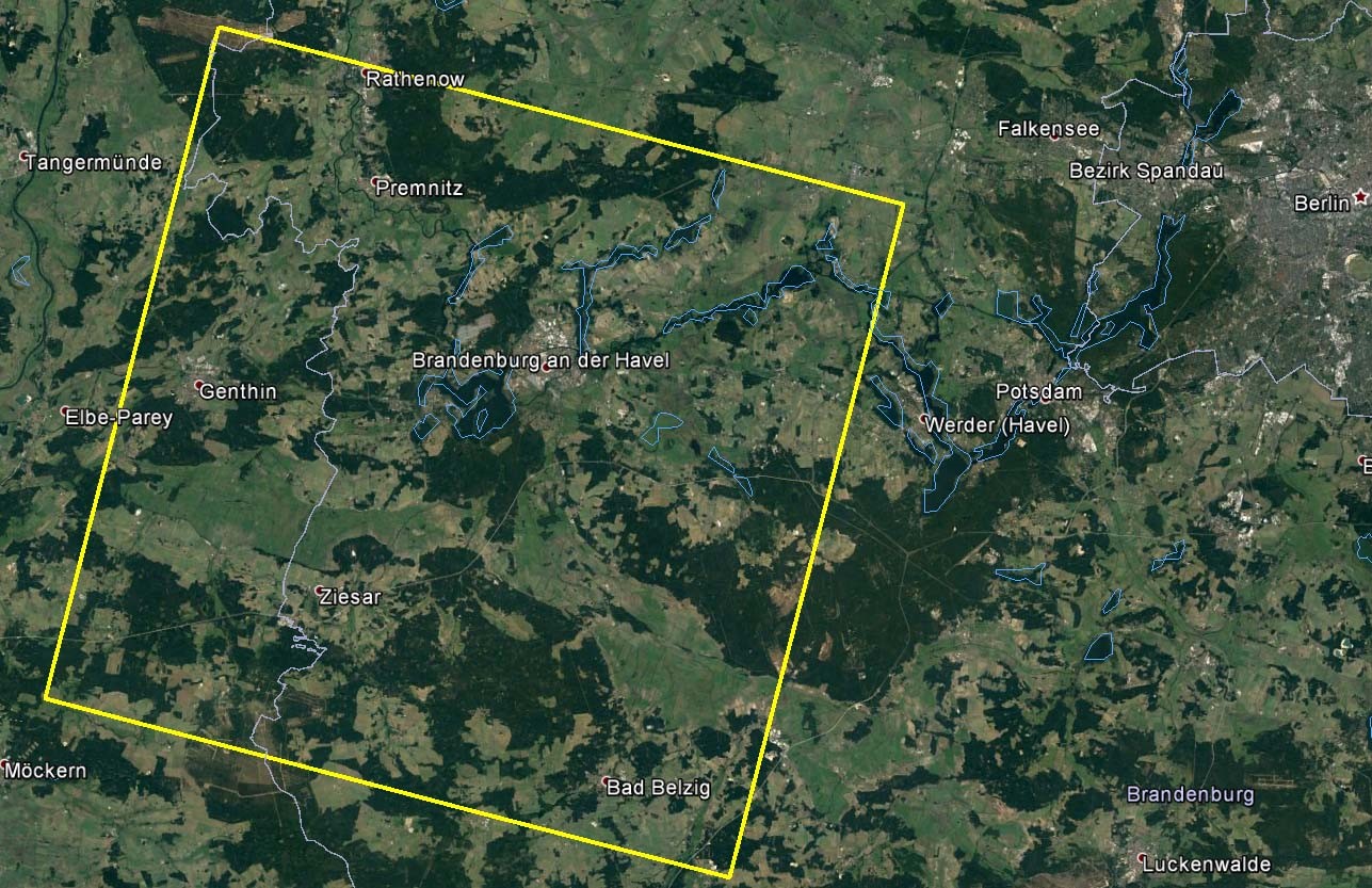
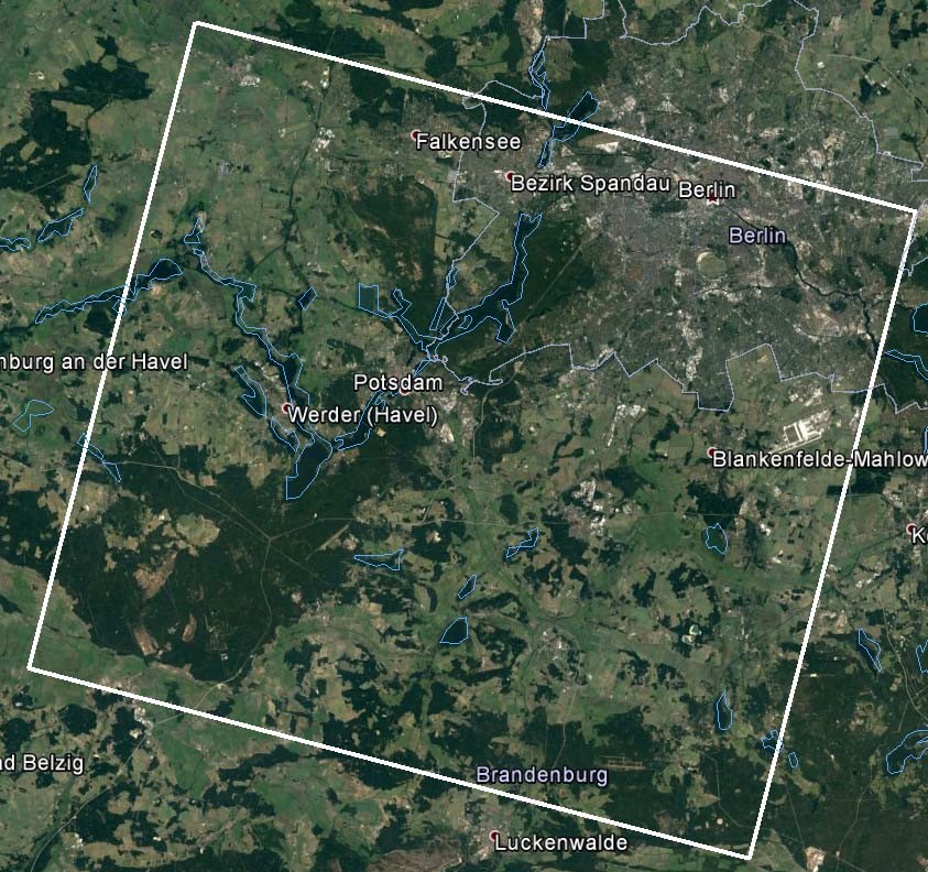
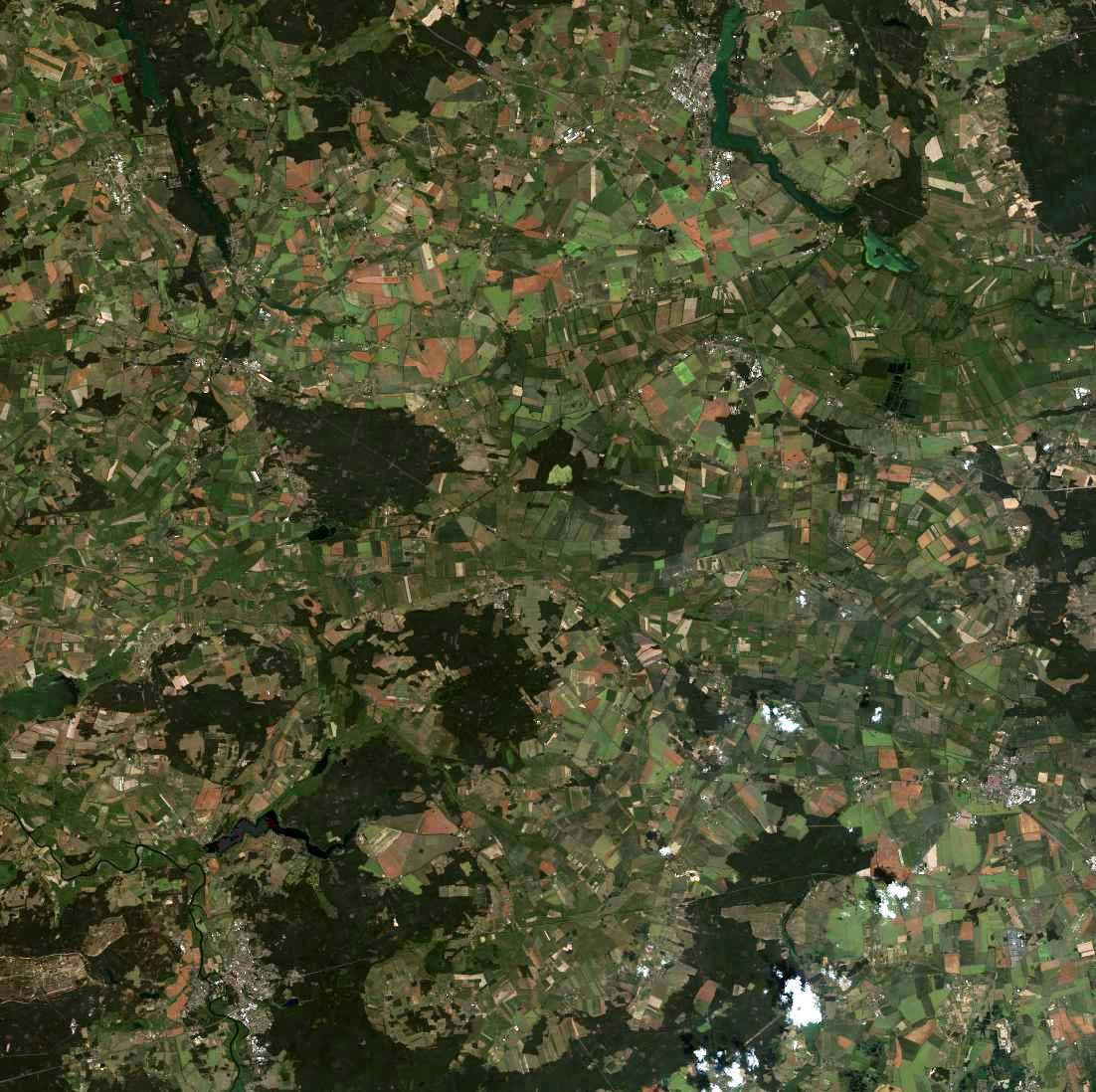
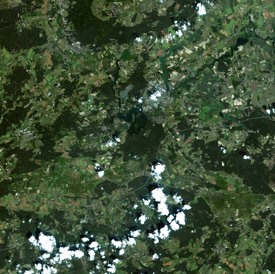
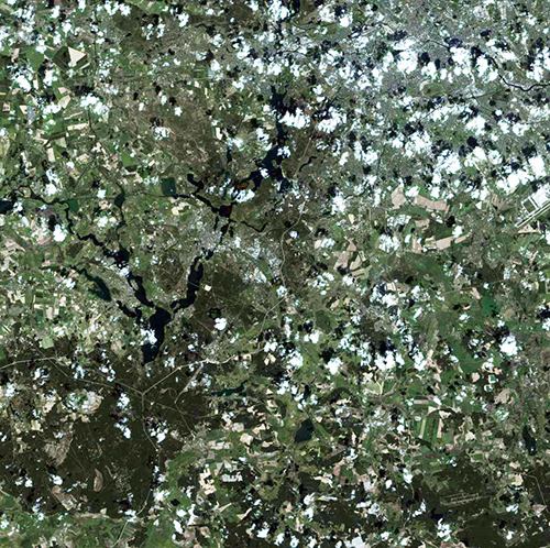
2. Ziyuan-3 overview images
|
| Neurupin |
|
| Brandenburg |
|
| Berlin |
3. Files
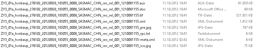
The files of the different scenes can be identified by the last digits before file extension e.g. the scene of file
ZY3_01a_hsnbavp_275102_20121201_183107_0008_SASMAC_CHN_sec_rel_001_12120422639.tif can be identified by 2639 within the available data set
Technical data of the images are available in the *.XML-files (ASCII) as corner coordinates, view direction, sun elevation and azimuth, imaging time . . .
                                          width    height    (columns    lines)

 bwd = backward, pan           3.5m GSD   24513 x ~19997 pixels
 fwd = forward, pan            3.5m GSD   24513 x ~19996 pixels
 mux = nadir, color, 4 bands   5.1m GSD    8820 x  ~8786 pixels   (blue,  green, red, NIR)
 nad = nadir, pan              2.1m GSD   24513 x ~23996 pixels
for any image usually 8 files are available as:
3.1. Neurupin
 4433  bwd
 6270  fwd
 1356  mux
 4268  nad
Neurupin dataset as rar package (˜ 1.3 GB)
3.2. Brandenburg
 5691  bwd
 8831  fwd
 7266  mux
 4833  nad
Brandenburg dataset as rar package (˜ 1.3 GB)
3.3. Berlin
 7716  nad
 0015  bwd
 5453  fwd
 0729  mux
Berlin dataset as rar package (˜ 1.3 GB)